I've launched my second Udemy course and I'm so excited about it that I'm writing about it here! It's got nearly 150 videos in it, is over 15 hours long, and it took me about 10 months to complete while I was working on other stuff as well. See below for the promo video, but here's the direct link to Map Academy: Get mapping quickly, with QGIS on Udemy. It's a full introduction to mapping - and some spatial analysis - with QGIS and is aimed at people with no prior QGIS experience, those looking to get up to speed with QGIS, and people looking to make the switch to QGIS from other software. It's normally heavily discounted on Udemy (that's how their pricing works) and if I end up making any money I'll give back more to the QGIS project (I'm already a Small Member category Sustaining Member but I want to move up and give back more).
What is Map Academy?
Map Academy is an online 'learn QGIS, mapping and a bit of spatial analysis' course that you sign up to, and complete yourself online, with a Q&A section where you can ask me questions if you need to. I already offer training (online and in person) through Automatic Knowledge, and I've taught thousands of people this way, so this is the next stage of my training offer. It lets people learn at their own pace, in their own time zone, using example data from around the world. The course is organised into the following sections:
- Introduction
- Know your way around QGIS
- Let's make a map
- Data handling
- Locator maps
- 'Heat maps'
- Election maps
- Density maps
- Fun map stuff
- Vector tools in QGIS
- Working with raster data
- QGIS Plugins
- Tips and tricks
- Recap
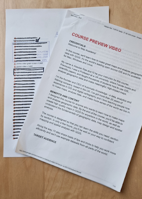
I use data from lots of different countries, including India, Indonesia, New Zealand, the UK, the US, Australia, Belgium, Turkey, Nigeria - as well as datasets that cover the whole world. I've made quite a few of the videos free to view, so when you click on the course preview video, you should be able to see them by scrolling down the page.
Format
Each section contains an intro video, with me talking to the camera, and then screen recordings with voiceovers where I demonstrate lots of different QGIS skills and tools. There's also a 'Fun map stuff' section, because I think it's important to have fun while learning. There are also a couple of videos where I'm standing inside the QGIS interface giving you a tour of what's what!
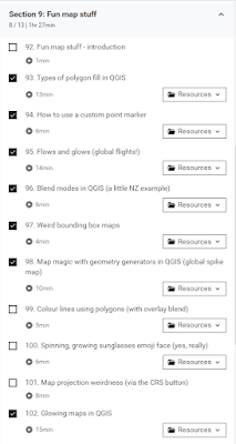 |
| The Fun map stuff section |
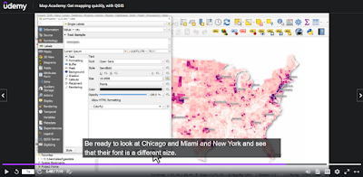
I've designed the course around four key themes - orientation, data handling, analysis, and design - or ODAD, as I like to call it. The idea is that after doing the first four sections, you can dip in and out as you choose, and you don't have to complete it sequentially - but it's good for that too. To give you an idea of what it looks like, here are a few screenshots.
 |
| A bit of spatial analysis stuff |
 |
| A bit of US county mapping |
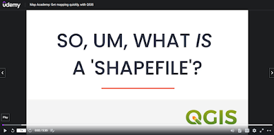 |
| Explaining the basics |
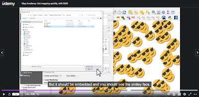 |
| Showing a few tricks, with fun stuff |
There is
a lot in there, but of course it's impossible to cover everything in one course and my focus is mostly on vector data - but there is a separate section on raster data that includes some of the analysis tools too.
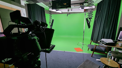
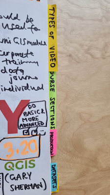
A few behind-the-scenes images
I planned, designed and produced the course over a period of about 10 months, so here is a little peek at some of the background to what went into it. Just to prove I actually planned it all out and put a lot of effort into it!
 |
| Yes, I did record the intros in a studio! |
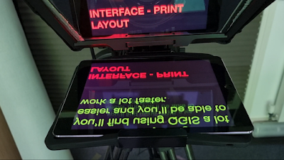 |
| Autocue - I can't remember words now, can I? |
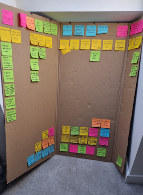 |
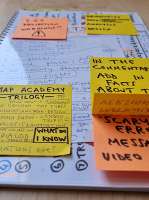
| My slightly messy planning board |
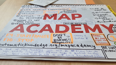 |
| My Map Academy planning booklet - DON'T BE BORING!! |
 |
| I may do more, we'll see |
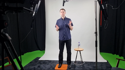 |
| Me, in the studio in Jan 2022 |
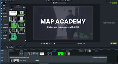 |
| Me, editing the promo vid in Camtasia |
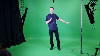 |
| Me, doing some green screen stuff for a couple of vids |
 |
| Script stuff and editing notes |
 |
| Planning different sections |
Well then, that's about all I have to say for now - please do
check it out if you want to get up to speed with mapping and spatial analysis in QGIS.
