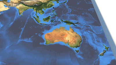
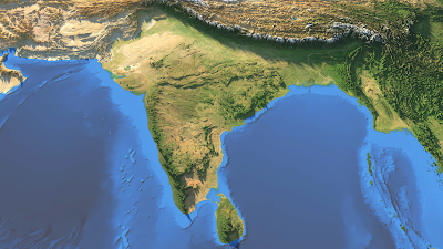
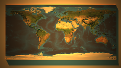
A short post today, with some visuals. I used some Blue Marble imagery from NASA - one layer was topography and the other was the colour image of the earth for August - and then I used the prelease v2 of Aerialod to visualise it. I tweaked the Blue Marble colours slightly and the elevation and bathymetry (in the final images) is greatly exaggerated, for effect.
I had a bit of fun with this. And this is the result.
 |
| NASA Blue Marble + topography |
 |
| A few bumps in Europe and North Africa |
 |
| Some nice colours and interesting bumps here |
 |
| A view across most of North America |
 |
| A slightly different angle on South America |
 |
| I quite like this perspective, very interesting |
 |
| Gosh, The Himalayas are quite big |
 |
| So many mountains here! |
 |
| Another pretty interesting view |
 |
| Same as the first one, but with a few more light effects |
That's all for now :)
 |
| With exaggerated bathymetry too |
 |
| Classic mid-Atlantic wrinkles |
 |
| Maps without New Zealand should not exist |
